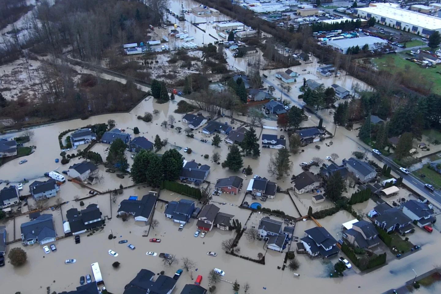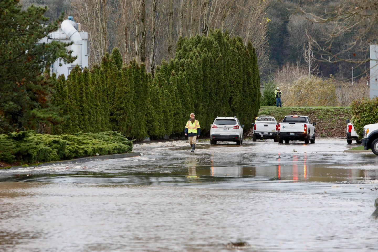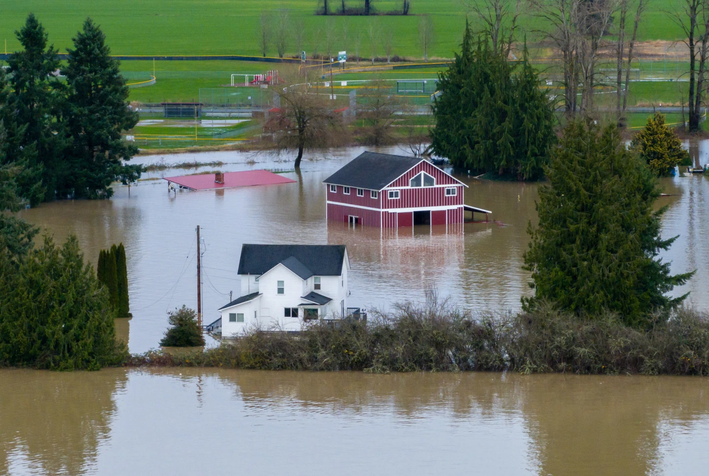
MIAMI (AP) — A weather system initially termed Tropical Depression Nine is poised to transform into Tropical Storm Imelda today before making its approach to South Carolina as a potential hurricane by early next week. The system has already caused disruptions in the Bahamas and surrounding islands. South Carolina Governor Henry McMaster emphasized the importance of monitoring weather updates closely as the storm could result in high winds and torrential rain, raising concerns about possible flooding. With the system currently positioned about 100 miles west-southwest of the Central Bahamas and moving north-northwest at a speed of 7 mph, its maximum winds are registered at 35 mph.
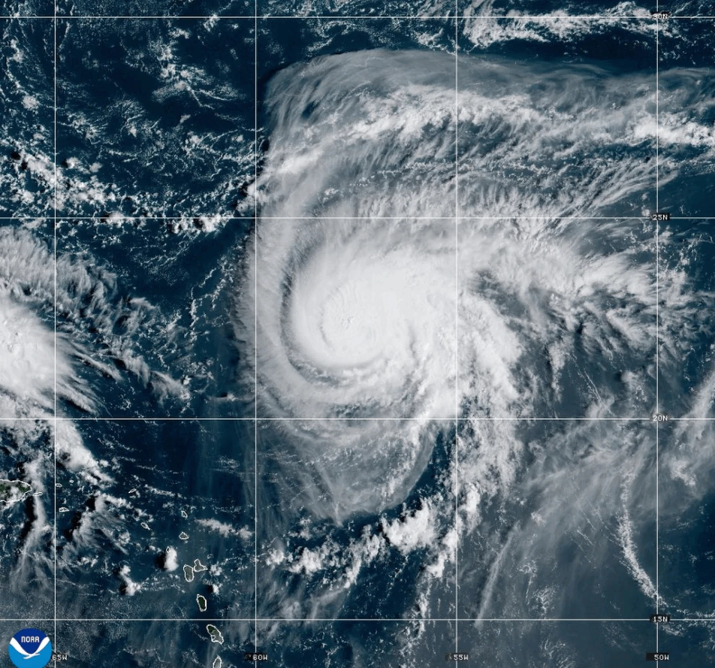
In addition, Hurricane Humberto, currently a strong Category 4 storm with maximum winds of 155 mph, has slightly weakened but is still posing threats to Bermuda as it travels west-northwest. Tropical storm advisories may be issued for Bermuda later today. Residents in low-lying areas of the Bahamas have been urged to take necessary precautions against flooding as the storm nears. Further updates and warnings are imminent as the situation develops.
In addition, Hurricane Humberto, currently a strong Category 4 storm with maximum winds of 155 mph, has slightly weakened but is still posing threats to Bermuda as it travels west-northwest. Tropical storm advisories may be issued for Bermuda later today. Residents in low-lying areas of the Bahamas have been urged to take necessary precautions against flooding as the storm nears. Further updates and warnings are imminent as the situation develops.