Hurricane Polo – Still a giant after downgrade
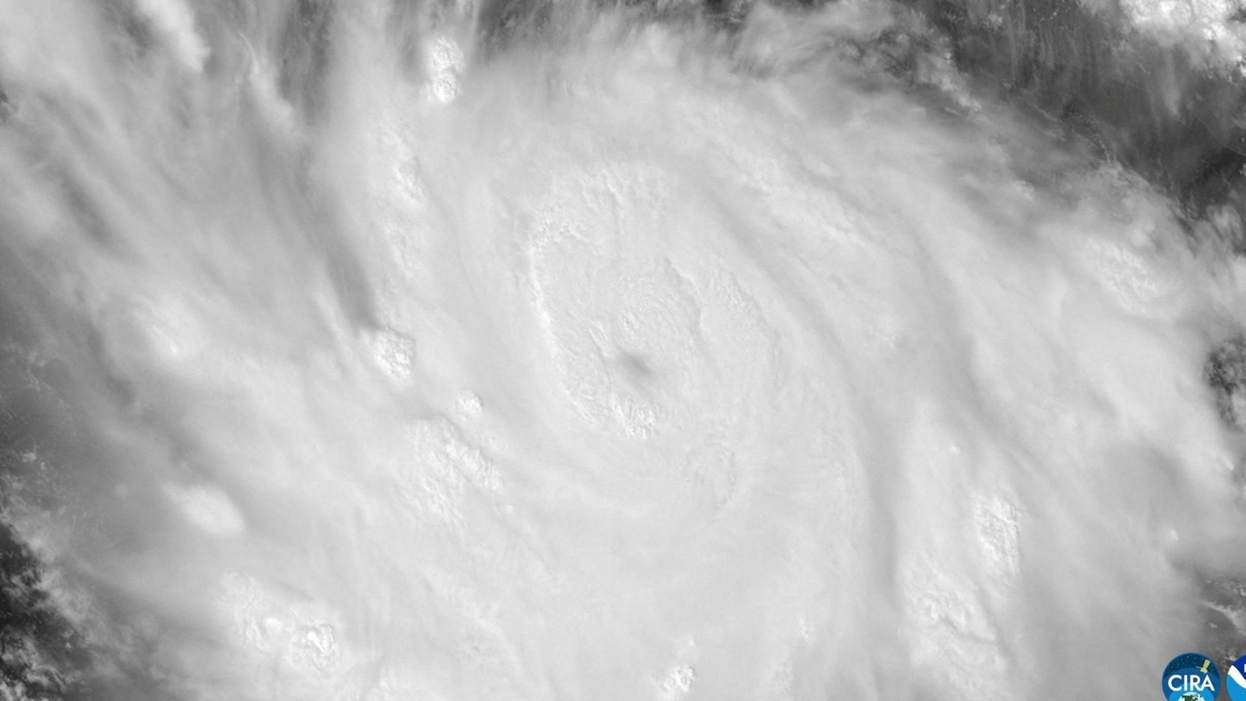
Hurricane Polo, a powerful Pacific storm, slipped from Category 5 to Category 4 but still pumps out 180‑mph winds and brutal rain across the Mexican coast.
A NOAA Hurricane Hunter aircraft charted winds of 180 mph (285 km/h) as it flew into the storm, confirming its sheer strength.
The “super‑storm” is being fed by record‑warm El Niño waters, boosting wind speeds and the danger of flooding.
What’s the risk?
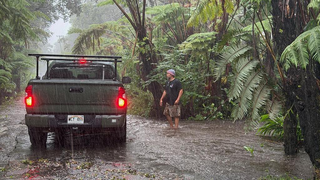
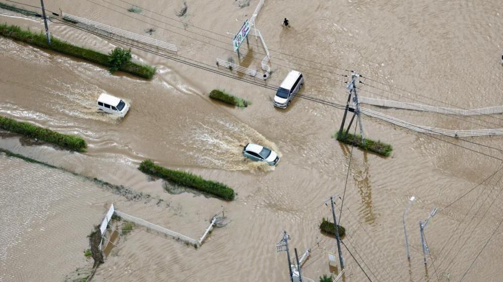
- Heavy rainfall – up to 6 in (15 cm) predicted, with 8 in in spots.
- Life‑threatening surf and ocean swells expected for several days.
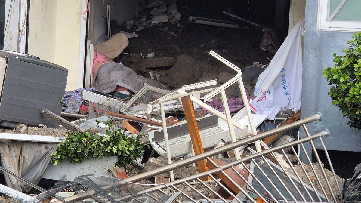
- Potential for mudslides and flooding in steep terrain.
Tropical storm warnings cover parts of southwest Mexico, and a watch is in place west of Playa Perula. Residents in Jalisco, Colima and Michoacán are urged to stay alert.
If you’re near the coast, keep track of local alerts and have a safety plan in place. The storm is expected to move northwest and stay offshore, but the rain and waves could still hit the shoreline.
Updated: 23 September 2026 – weather still evolving.