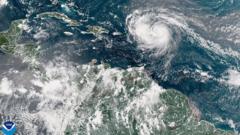
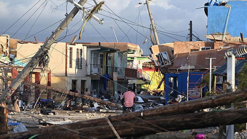
Hurricane Erin has undergone a dramatic transformation into a category five hurricane, boasting maximum sustained winds of 160 mph (260 km/h). Mike Brennan, Director of the National Hurricane Center, emphasized the storm's explosive growth, evolving from a tropical storm just a day earlier. Expected to glide north of the Leeward Islands, Virgin Islands, and Puerto Rico over the weekend, Erin may unleash up to 6 inches (15 cm) of rain, raising concerns about flash floods and mudslides.
This 2025 Atlantic storm season marks its first hurricane, with Erin's winds having surged from 100 mph to 160 mph within 24 hours—a phenomenon known as rapid intensification. As the storm is projected to drift northward next week, it will cause dangerous surf and rip currents along nearly the entire East Coast of the United States. Florida and mid-Atlantic states will face the most severe surf conditions, while Bermuda may also experience hazardous weather.
To ensure safety, the US Coast Guard has implemented restrictions for ships in ports in St. Thomas, St. John, and six municipalities across Puerto Rico, including San Juan. The National Oceanic and Atmospheric Administration (NOAA) predicts that this year’s Atlantic hurricane season will be more active than usual, noting that climate change is likely increasing the frequency of strong storms like Erin.


