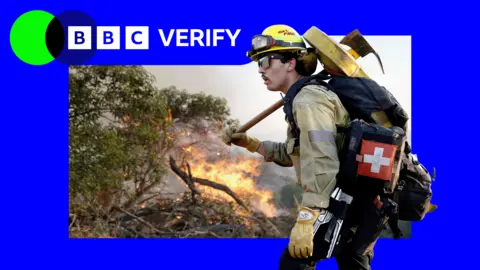
Satellite images have recently unveiled the extent of two wildfires wreaking havoc in Southern California. The Sandy Fire ignited early on Monday in Simi Valley, producing a significant plume of smoke seen from space. California Governor Gavin Newsom reported that 750 firefighters are currently on the ground, supported by helicopters dropping water on hotspots.
The fire, caused by a tractor hitting a rock, has spread to 1,364 acres without any containment. Additionally, data from NASA's wildfire monitoring platform shows active hotspots moving south as the fire continues to grow. Over 10,000 homes in Simi Valley and surrounding areas have been evacuated, with an additional 3,500 homes under warning.
In another alarming development, a fire on Santa Rosa Island has burned 14,600 acres, raising concerns about wildlife and ecosystems in Channel Islands National Park. Reports also indicate that Los Angeles officials anticipate the fire will not reach the city, although precautionary measures are in place.
With high winds on Monday aiding the fire's spread, the Simi Valley Unified School District canceled all classes. Similar devastating fires previously destroyed thousands of homes and resulted in casualties in the Los Angeles area.
This current crisis highlights both the destructive power of wildfires in California and the urgent need for effective firefighting strategies.