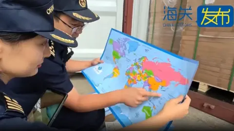
Chinese customs officers in eastern Shandong province have seized 60,000 maps that 'mislabelled' the self-governed island of Taiwan, which Beijing claims as part of its territory. The maps, authorities said, also 'omitted important islands' in the South China Sea, where Beijing's claims overlap with those of its neighbors, including the Philippines and Vietnam.
The 'problematic' maps, meant for export, cannot be sold because they 'endanger national unity, sovereignty and territorial integrity' of China, authorities said. Maps are a sensitive topic for China and its rivals for reefs, islands, and outcrops in the South China Sea.
China Customs claimed the maps also did not contain the nine-dash line, which demarcates Beijing's claim over nearly the entire South China Sea. This line extends hundreds of miles from its southernmost province of Hainan. Furthermore, the maps did not mark the maritime boundaries between China and Japan.
Authorities indicated the maps mislabeled Taiwan province but did not specify the exact nature of the mislabeling. China views self-ruled Taiwan as its territory and has not ruled out the use of force to take it, while Taiwan insists on its independence.
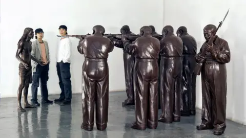
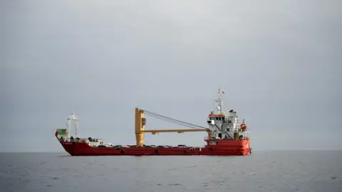
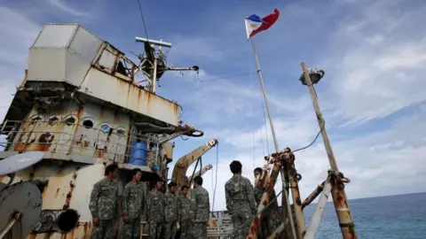
Tensions in the South China Sea occasionally flare up, as seen recently when Chinese and Philippine ships had an encounter, with Manila accusing China of ramming and using a water cannon on its vessel. Beijing countered that the Philippine ship ignored warnings and approached dangerously.
The Philippines and Vietnam are particularly sensitive to representations of the South China Sea on maps. Such sensitivities have led to films like the Barbie movie being banned or censored due to their depiction of the nine-dash line.
China Customs did not disclose where the seized maps were intended to be sold, but noted that problematic goods often fail customs inspections and are destroyed. Earlier this year, customs officers had also seized maps containing errors in national borders at different points in China.
The 'problematic' maps, meant for export, cannot be sold because they 'endanger national unity, sovereignty and territorial integrity' of China, authorities said. Maps are a sensitive topic for China and its rivals for reefs, islands, and outcrops in the South China Sea.
China Customs claimed the maps also did not contain the nine-dash line, which demarcates Beijing's claim over nearly the entire South China Sea. This line extends hundreds of miles from its southernmost province of Hainan. Furthermore, the maps did not mark the maritime boundaries between China and Japan.
Authorities indicated the maps mislabeled Taiwan province but did not specify the exact nature of the mislabeling. China views self-ruled Taiwan as its territory and has not ruled out the use of force to take it, while Taiwan insists on its independence.
Tensions in the South China Sea occasionally flare up, as seen recently when Chinese and Philippine ships had an encounter, with Manila accusing China of ramming and using a water cannon on its vessel. Beijing countered that the Philippine ship ignored warnings and approached dangerously.
The Philippines and Vietnam are particularly sensitive to representations of the South China Sea on maps. Such sensitivities have led to films like the Barbie movie being banned or censored due to their depiction of the nine-dash line.
China Customs did not disclose where the seized maps were intended to be sold, but noted that problematic goods often fail customs inspections and are destroyed. Earlier this year, customs officers had also seized maps containing errors in national borders at different points in China.