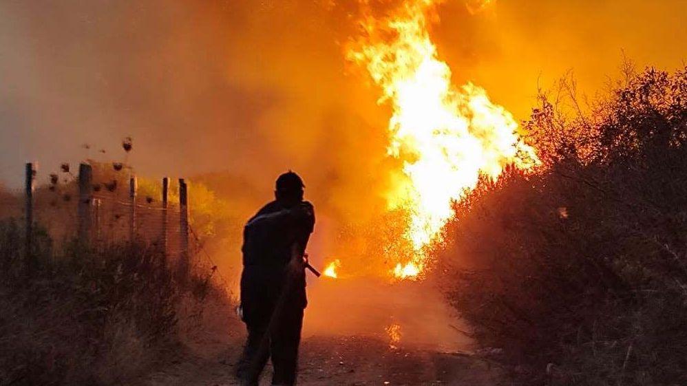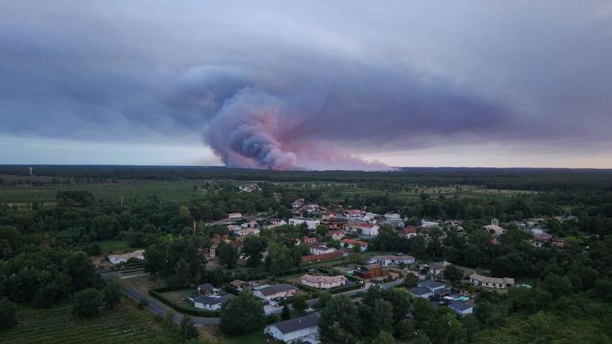
Tens of thousands of people have been evacuated from the Gironde region as wildfires in France are stoked by unprecedented pyrocumulonimbus clouds.
These fire‑generated thunderstorms form when the heat of the blaze lifts smoke, ash, and water vapour into the air, creating a towering cumulonimbus that is similar to a normal thunderstorm. The cloud can fling embers miles ahead of the front and the lightning it produces may ignite new fires.
French firefighters say this phenomenon has never been seen in France before, and the heatwave forecast for the coming week could allow the blaze to burn for weeks.
Scientists note that extreme heat, strong winds and low moisture – all common in summer heatwaves – raise the chances of pyrocumulonimbus. Climate change is expected to make these conditions more frequent.
Earlier examples include the Black Summer bushfires in Australia (2019‑20) and the California 2021 summer fires, during which similar fire‑generated clouds spread embers far beyond the fire line.
Emergency officials urge those living near the fire to stay alert and to contact local authorities if it’s safe to do so.