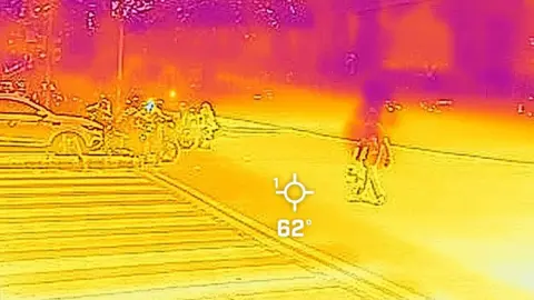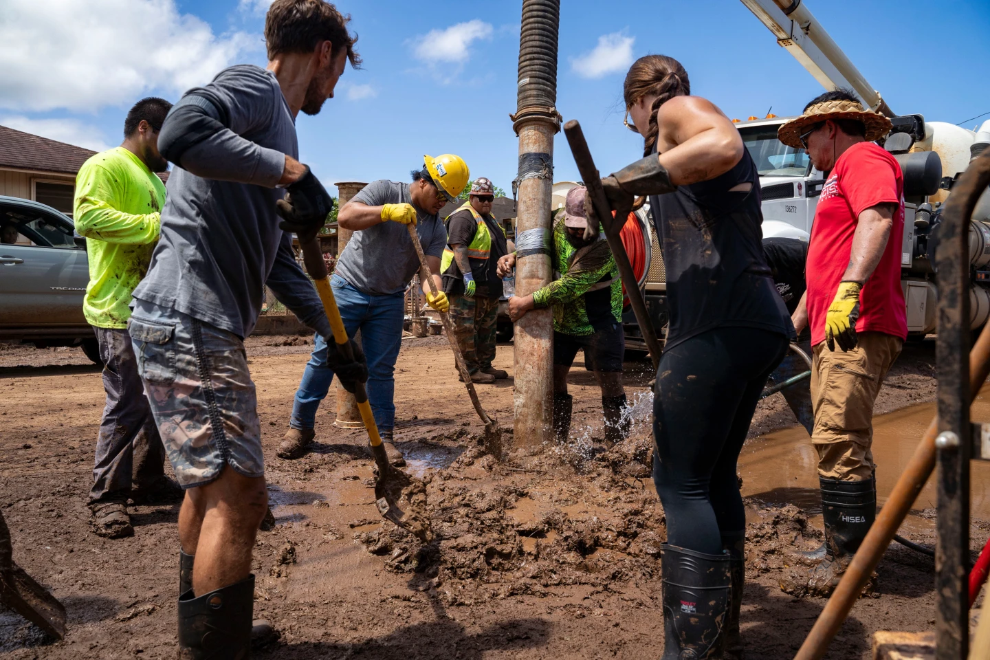
HONOLULU (AP) — On March 24, 2026, a surprise downpour sent flash floods crashing through neighborhoods near downtown Honolulu, marking Hawaii's worst flooding in two decades. The event, driven by a powerful winter weather system known as a 'Kona low,' led to incredible rainfall rates of 2 to 4 inches per hour and left residences and vehicles submerged.
Residents like Maile Mills witnessed her car get swept away, commenting on how it looked 'like rubber ducks in a pond' as cars floated by. Over 230 people were rescued as waters surged in areas already saturated by previous storms, pushing homes off their foundations and damaging infrastructure. While officials are optimistic that the rains may be concluding, the financial toll is projected to exceed $1 billion, signaling a severe state of emergency across the islands. Volunteers are currently mobilizing to help with clean-ups while facing newly intensified weather patterns due to climate change.
Residents like Maile Mills witnessed her car get swept away, commenting on how it looked 'like rubber ducks in a pond' as cars floated by. Over 230 people were rescued as waters surged in areas already saturated by previous storms, pushing homes off their foundations and damaging infrastructure. While officials are optimistic that the rains may be concluding, the financial toll is projected to exceed $1 billion, signaling a severe state of emergency across the islands. Volunteers are currently mobilizing to help with clean-ups while facing newly intensified weather patterns due to climate change.