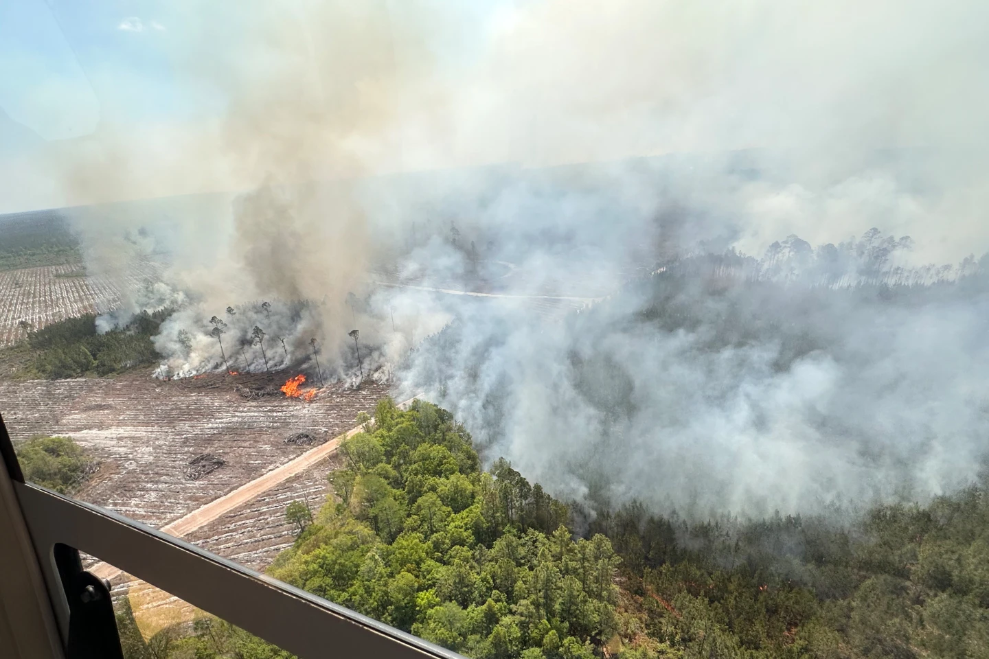
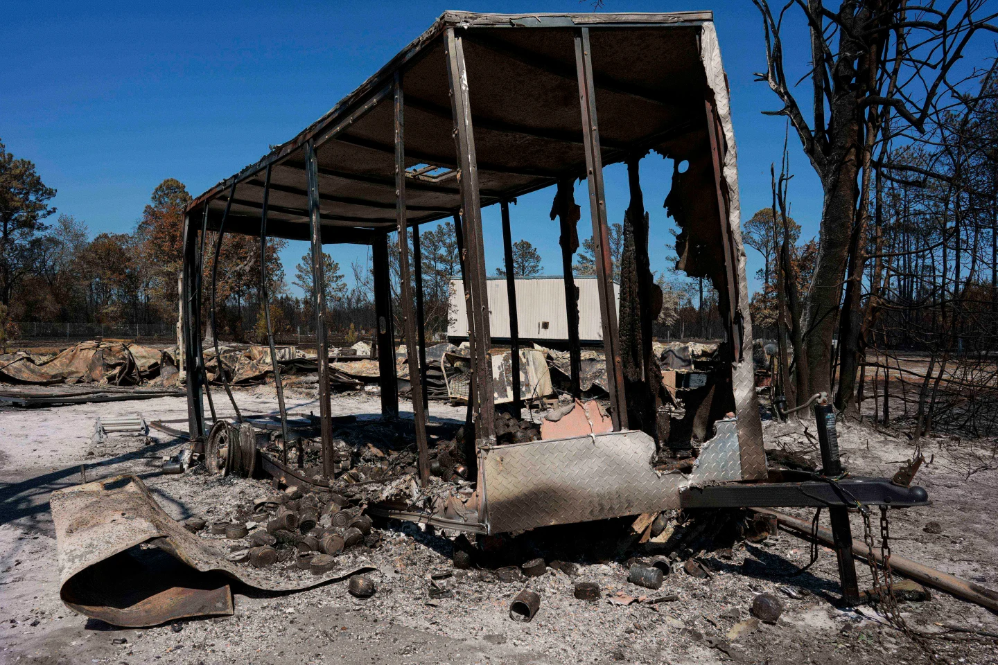
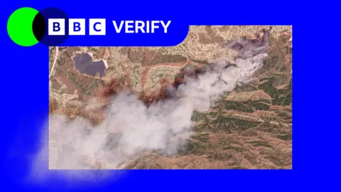
Recent satellite images have disclosed the devastating scope of two wildfires igniting in Southern California. The Sandy Fire broke out on Monday morning in Simi Valley and has rapidly spread across 1,364 acres (550 hectares) without any containment as of now. Reports indicate that the blaze was sparked when a tractor struck a rock, prompting a plume of smoke captured by satellites on the same day. Fire officials have deployed approximately 750 firefighters, utilizing 'night-flyers' to douse hotspots. The urgency heightened as over 10,000 residents in Simi Valley and neighboring areas were ordered to evacuate, with a further 3,500 homes under warning in Los Angeles County. Despite reassurances from the Los Angeles mayor that the fire is not expected to reach the city, cautionary measures remain in effect. Compounding these challenges, another wildfire on Santa Rosa Island has scorched 14,600 acres (6,000 hectares), pushing air and ground teams to their limits as they fight against nature's fury.
California Wildfires: A Space Perspective
California Wildfires: A Space Perspective
Recent satellite images showcase the devastation caused by two wildfires in Southern California, providing a unique view of the crisis from space.
Satellite imagery reveals the alarming spread of wildfires in southern California. The Sandy Fire, which erupted in Simi Valley, has consumed over 1,364 acres and necessitated the evacuation of more than 10,000 homes. Firefighters are battling the flames, aided by helicopters, while a second active fire on Santa Rosa Island has ravaged 14,600 acres. With ongoing assessments and evacuation warnings in place, the situation remains critical as officials strive to control the blaze.