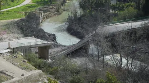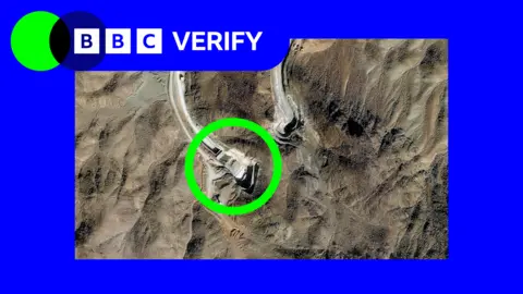
Recent satellite images have shown that Israel has moved its concrete blocks, which signify its control lines, deeper into Gaza, creating confusion for Palestinian residents. Initially positioned to delineate a ceasefire boundary, these markers have been relocated in at least three areas, according to analysis by BBC Verify.
Under a US-brokered agreement with Hamas, Israel was expected to keep its military presence behind designated yellow lines on maps, which are visually represented by blocks on the ground. However, Defense Minister Israel Katz previously warned that anyone crossing this Yellow Line would face fire.
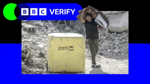
Unfortunately, since these statements, incidents of violence have escalated near the Yellow Line, with reported shootings on individuals crossing it. Locations such as Beit Lahia and al-Tuffah have experienced movements of military blocks, indicating increased tension and danger for local populations.
Map analysis indicates that markers are being moved an average of 295 meters further into Gaza, with multiple incidents leading to civilian deaths, including children. Observers argue that this tactic allows Israel to manipulate territorial control while leading to hazardous living conditions for Palestinians.
Experts assert that these changes could lead to further complications for local residents as they navigate the dangerous zones surrounding these markings. The implications of this territorial adjustment reflect a strategy of control that may leave many feeling trapped within their own communities.