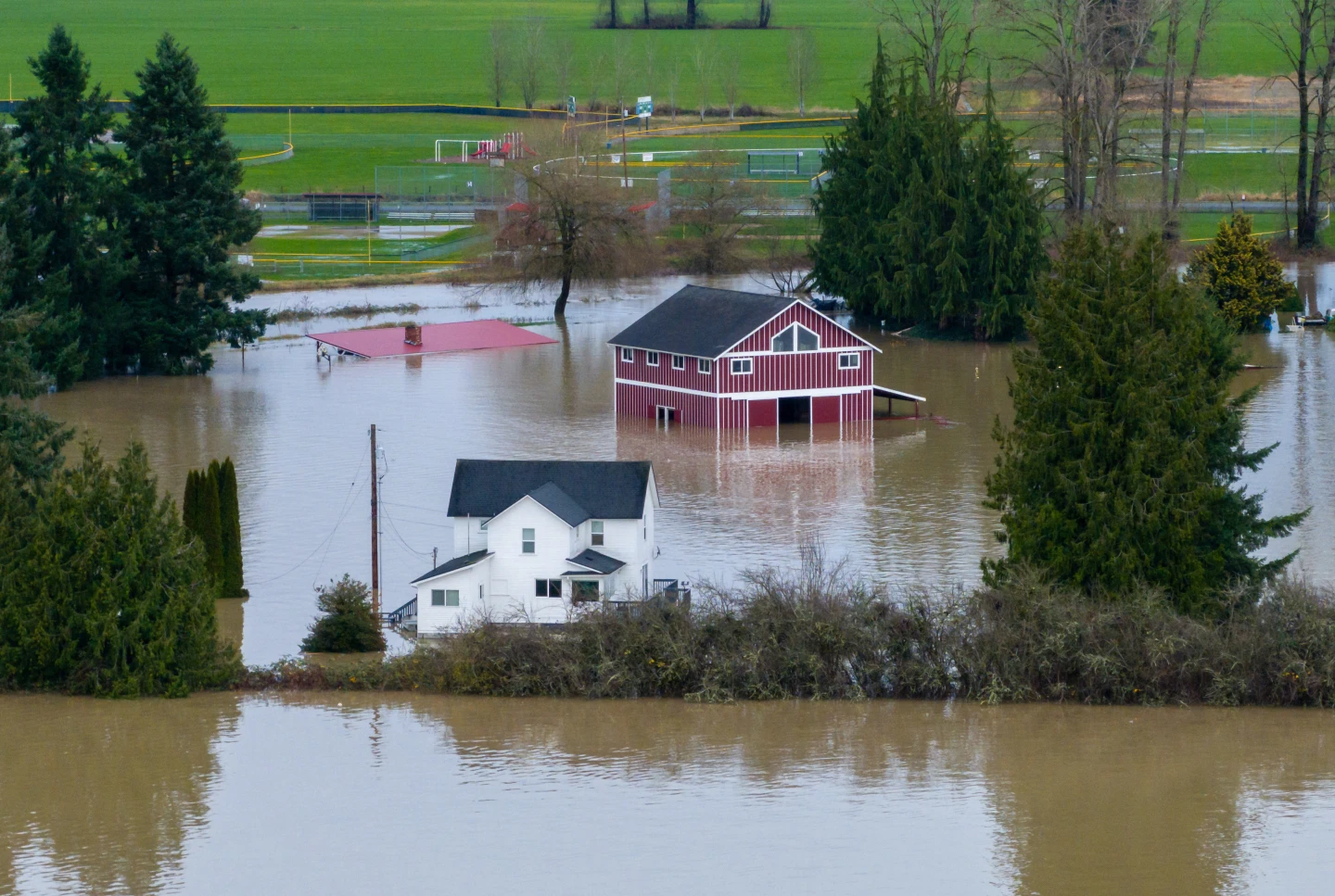
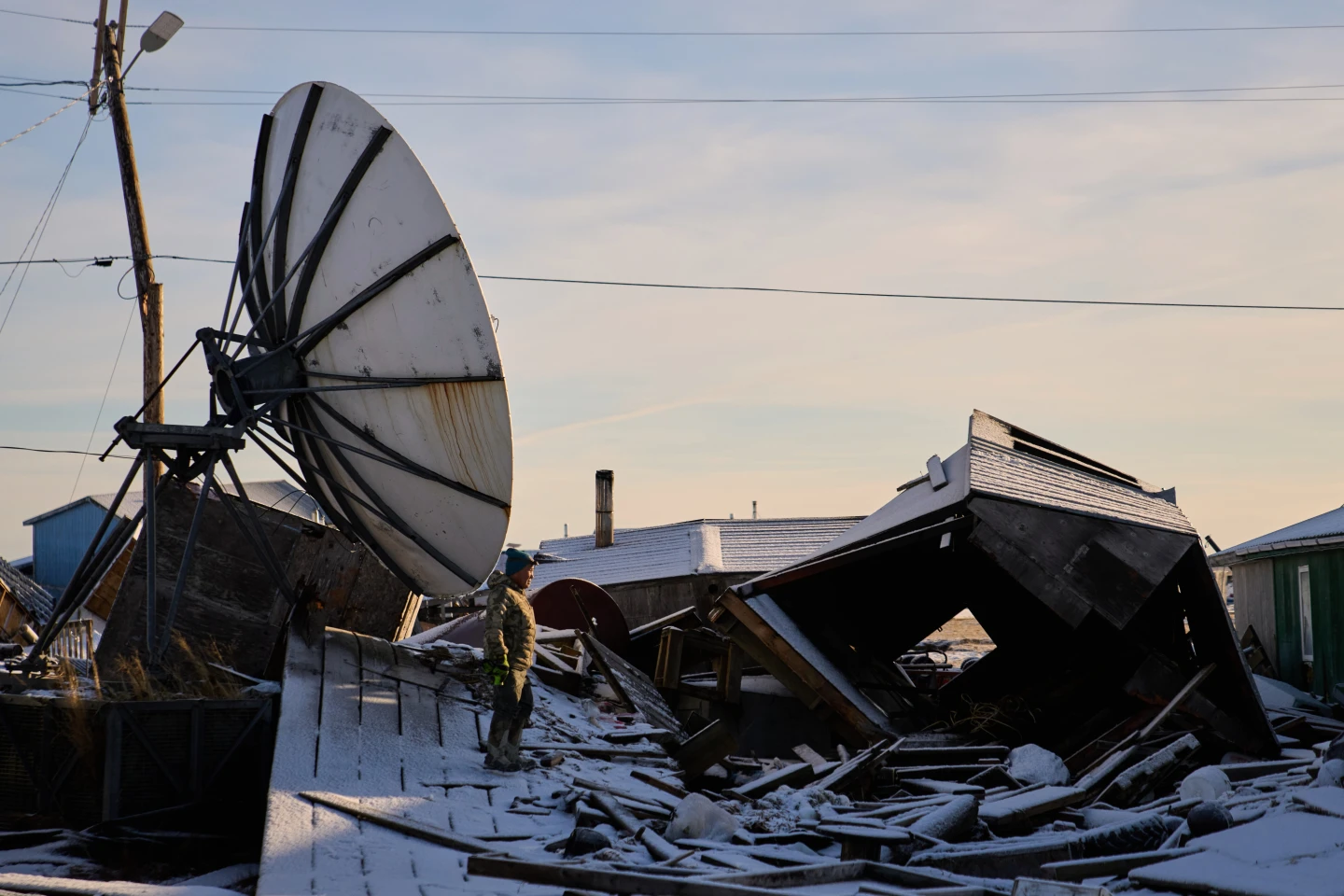
Hurricane Erin, quickly escalating to a Category 4 storm, is posing a serious risk to the eastern United States. Dangerous surf and rip currents are anticipated as the hurricane makes its presence known. The storm has already begun unleashing rainstorms upon the southeastern Bahamas and the Turks and Caicos Islands, which are currently under a tropical storm alert. While direct landfall on these islands isn't expected, up to six inches (15.2cm) of rainfall could hit the region.
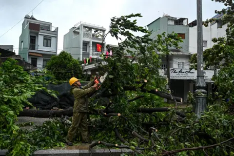
Initially skyrocketing to a Category 5, Erin experienced a brief dip in intensity, but it is once again gaining strength. In Puerto Rico, over 150,000 residents lost power due to strong winds damaging electricity lines, although local company Luma is working hard on emergency repairs and reported that 95% of customers had their electricity restored by Sunday evening.
The hurricane’s rain bands are beginning to affect the Bahamas, prompting the National Hurricane Center (NHC) to advise residents to stay vigilant. Aarone Sargent, the director of the Disaster Risk Management Authority, urged people to familiarize themselves with nearby shelters, as the unpredictable nature of storms can lead to abrupt shifts in their paths. With the core of Erin expected to move east of the southeastern Bahamas and towards the North Carolina coast by midweek, The Outer Banks are already preparing for intense surf and powerful winds. Authorities have issued mandatory evacuations for Hatteras Island, warning that access routes may become blocked. Meanwhile, forecasters are cautioning residents along the entire US East Coast about the potential for treacherous rip tides.


